
ROAD ATLAS
SKU:
$19.99
$19.99 - $29.99
per item
RAND MCNALLY
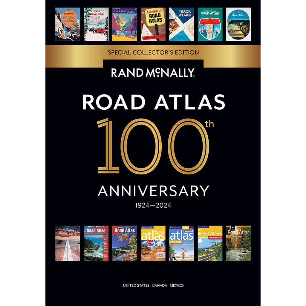
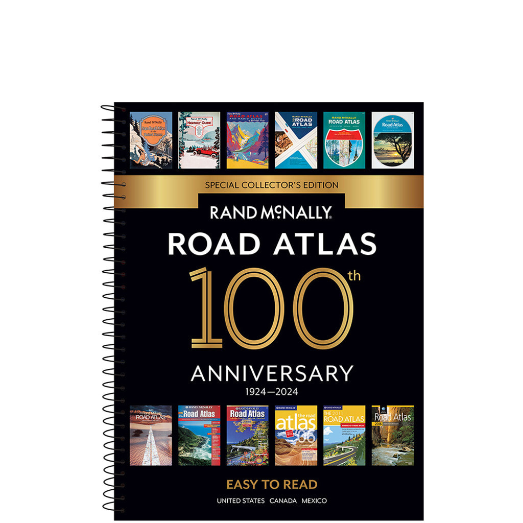
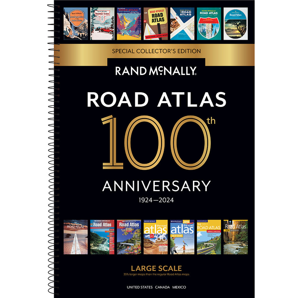
Beginning with its predecessor, the Auto Chum in 1924, the Rand McNally Road Atlas has been the essential, trusted tool for road travelers for 100 years. Celebrating its centennial anniversary, this 2024 Special Collector's Edition features a trip down memory lane — a nostalgic look back at 100 years of roadside culture, cars, and the highway system that shaped the open road, as well as showcasing Road Atlas covers throughout the years.
OTHER FEATURES:
- Best of the Road® - An editor’s favorite road trips from the Best of the Road® collection follows scenic routes along stretches of coastline, both east and west, to forests mountains, and prairies; and through small towns and big cities. For a weekend or a week – there’s something for everyone.
- Road construction and conditions phone numbers and websites
- Tourism phone numbers and websites
- Hotel phone numbers and websites
2024 MIDSIZE EASY TO READ SPIRAL ROAD ATLAS
- Detailed maps of over 50 North American cities
- Paperback w/Spiral, Stay-Flat Binding
- 160 Pages
- 8” x 10.8125”
- ISBN: 9780528026935
2024 ROAD ATLAS
- Over 350 detailed city inset and national park maps
- Mileage chart showing distances between 90 North American cities and national parks + driving times map
- Paperback w/Flat Binding
- 144 Pages
- 10.875" x 15.375"
- ISBN: 9780528027185
2024 LARGE SCALE ROAD ATLAS
- 35% Bigger Maps than Midsize
- Over 350 detailed city inset and national park maps
- Mileage chart showing distances between 77 North American cities and national parks + driving times map
- Paperback w/Spiral Binding
- 288 pages
- 10.375" x 15.375"
- ISBN: 9780528027192
Sold out