
NORTH DAKOTA & SOUTH DAKOTA STATE MAP
RAND MCNALLY
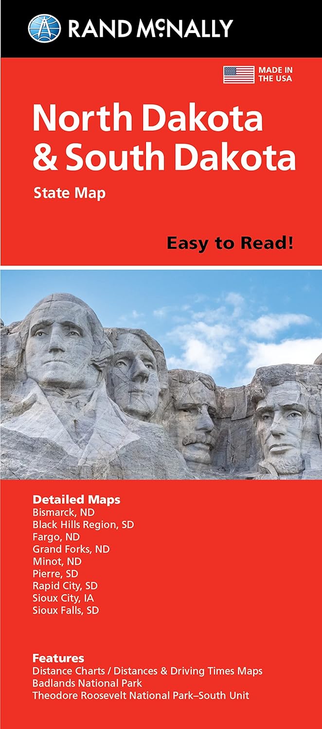
EASY TO READ [PAPER]
Rand McNally's folded map for North Dakota and South Dakota is a must-have for anyone traveling in or through the states, offering unbeatable accuracy and reliability at a great price. Our trusted cartography shows all Interstate, U.S., state, and county highways and much more.
- Points of interest
- State park chart
- State mileage chart
- Driving times map
- On-the-road toolbox
- Visitor center information
- Climate data
- State facts & symbols
- Easy-to-use legend
- Detailed indexed
Detailed maps include: Bismarck, ND; Black Hills Region, Fargo, ND; Grand Forks, ND; Pierre, SD; Rapid City, SD; Sioux Falls, SD
DIMENSIONS: 9.0" x 4.125" folded; 25.5" x 36.75" unfolded
PUBLISHED: 2021
ISBN: 9780528024634
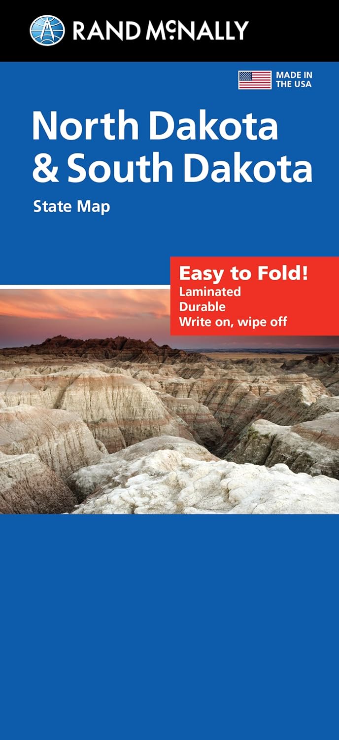
EASY TO FOLD [LAMINATED]
The durable and convenient North Dakota and South Dakota Easy To Fold state map will take all the wear and tear your journey can dish out. The heavy-duty laminated design allows you to mark your route, make notes, then wipe the surface clean for further use. This is a must-have for navigation whether you're a state resident or just passing through.
- Easy to fold means no fumbling
- Heavy-duty lamination allows you to write on, wipe off
- Durable and tear resistant
- Folds to display individual map sections
- Full-color maps with enhanced cartography
- Clearly indicated highways, county boundaries, points of interest, and more
- Quick-reference legend and city index
DIMENSIONS: 9" x 4.25" folded; 18" x 17" unfolded
PUBLISHED: 2022
ISBN: 9780528024771