- ACCESSORIES
- >
- UNITED STATES MAPS
UNITED STATES MAPS
RAND MCNALLY
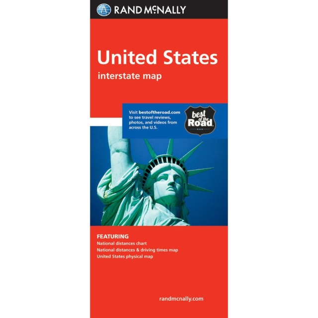
UNITED STATES INTERSTATE MAP [PAPER]
Rand McNally's United States folded map features clear, easy-to-read cartography showing all Interstate and U.S. highways, along with clearly indicated cities, points of interest, airports, boundaries, and more.
- Interstate and U.S. highways
- Indications of cities, points of interest, airports, boundaries, and more
- Mileage chart
- Mileage & driving times map
- National facts and symbols
- Toll roads chart
- United States physical map
- Visitor information
DIMENSIONS: 9.0" x 4.125" folded; 25.5" x 36.75" unfolded
PUBLISHED: 2019
ISBN: 9780528881282
---
WESTERN UNITED STATES REGIONAL MAP [PAPER]
STATES COVERED: Arizona, California, Colorado, Idaho, Montana, Nevada, New Mexico, Oregon, Utah, Washington, Wyoming
DIMENSIONS: 9" x 4.25" folded; 40" x 28" unfolded
SCALE: 1" = 43 miles
PUBLISHED: 2014
ISBN: 9780528882111
---
CENTRAL UNITED STATES REGIONAL MAP [PAPER]
STATES COVERED: Arkansas, Illinois, Iowa, Kansas, Louisiana, Minnesota, Mississippi, Missouri, Nebraska, North Dakota, Oklahoma, South Dakota, Texas, and Wisconsin
DIMENSIONS: 9" x 4.25" folded; 40" x 28" unfolded
SCALE: 1" = 43 miles
PUBLISHED: 2014
ISBN: 9780528881114
---
EASTERN UNITED STATES REGIONAL MAP [PAPER]
STATES COVERED: Alabama, Connecticut, Delaware, District of Columbia, Florida, Georgia, Indiana, Kentucky, Maine, Maryland, Massachusetts, Michigan, New Hampshire, New Jersey, New York, North Carolina, Ohio, Pennsylvania, Rhode Island, South Carolina, Tennessee
DIMENSIONS: 9" x 4.25" folded; 40" x 28" unfolded
SCALE: 1" = 43 miles
PUBLISHED: 2014
ISBN: 9780528881152

